“A more fundamental transformation of Tokyo took place after the Great Kanto Earthquake, which struck just before noon on 1 September 1923. It resulted in the deaths of over 100,000 people and destroyed 73 per cent of homes in Tokyo and 85 per cent of homes in Yokohama. Rebuilding began immediately. During this second construction boom, the proven superiority of ferro-concrete buildings meant that nearly all new building projects involved vast quantities of concrete.
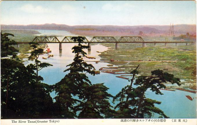
“Gravel thus was an important natural resource necessary for Tokyo’s modernization and the Tama River, close to Tokyo and long known for the quality of its rocks, became the obvious source of supply. In 1883, two gravel pioneers, Watanabe Fukutaro and Akimoto Genzo, developed pits along the lower reaches of the Tama River, especially around the area of Yaguchi where the river snakes and where significant gravel beds were known to exist. They began to transform the collection of gravel into an industry. Teams of men and horses were employed to dig, cart, clean and sort the stones. Large gravel (around 6.4 cm in circumference) was used for railway beds; medium gravel (around 3.2 cm in circumference) was used for road construction; small pebbles (around 2 cm in circumference) was used along with cement in construction projects.”
– A History of Water: Volume I: Water Control and River Biographies, edited by Terje Tvedt, Eva Jakobsson and Richard Coopey, 2006
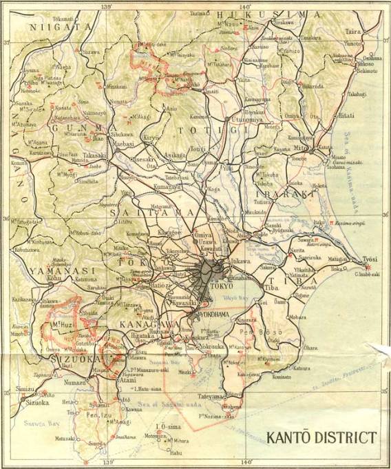
From the wiki: “The Tama River flows into Tokyo Bay at the dividing line between Tokyo and Kanagawa prefectures, near Kawasaki and present-day Haneda airport. Its source is located at Mt. Kasadori in Koshu in Yamanashi Prefecture. From there, it flows eastward into mountainous western Tokyo. The river then flows southeast between Tama Hills and Musashino Terrace. At Hamura is the source of the historic Tamagawa Aqueduct built by the Tamagawa brothers in 1653 to supply water to Edo (present-day Tokyo). Further downstream, the river forms the boundary between Tokyo and the city of Kawasaki in Kanagawa Prefecture. Its mouth on the heavily industrialised Tokyo Bay is next to Haneda Airport.
“Carp, rainbow trout, cherry salmon, iwana (char), ugui (big-scaled redfin) and ayu all inhabit Tama River in sufficient numbers for limited commercial fishing to take place in upstream areas. Kingfishers, white wagtails, spotbills, Japanese white-eyes, and black-headed gulls are among birds often seen at the river. Various types of ducks have made a comeback after the 1969 designation of the river as a wildlife protection zone. The expanse of greenery between the levees and the river itself attract additional wildlife.
“In recent years the Tama River has been settled by a larger number of non-native species including tropical fish like piranhas. It is assumed that this became possible because of higher water temperature of river due to global warming and waste water from sewage treatment plants. Those higher temperature now allow tropical pet fish being abandoned by their owners to survive the cold Japanese winters.”


