See also:
Climbing Mt. Asama, Karuizawa, c. 1920.
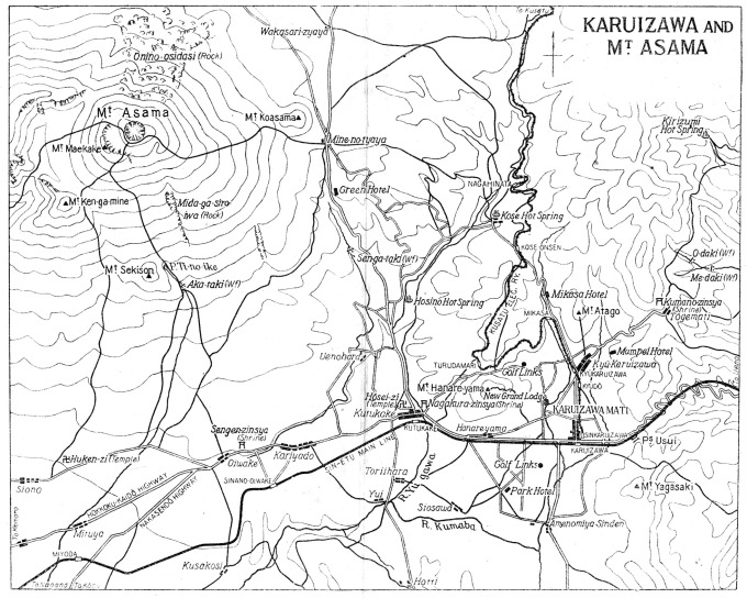
Karuizawa, c. 1920.
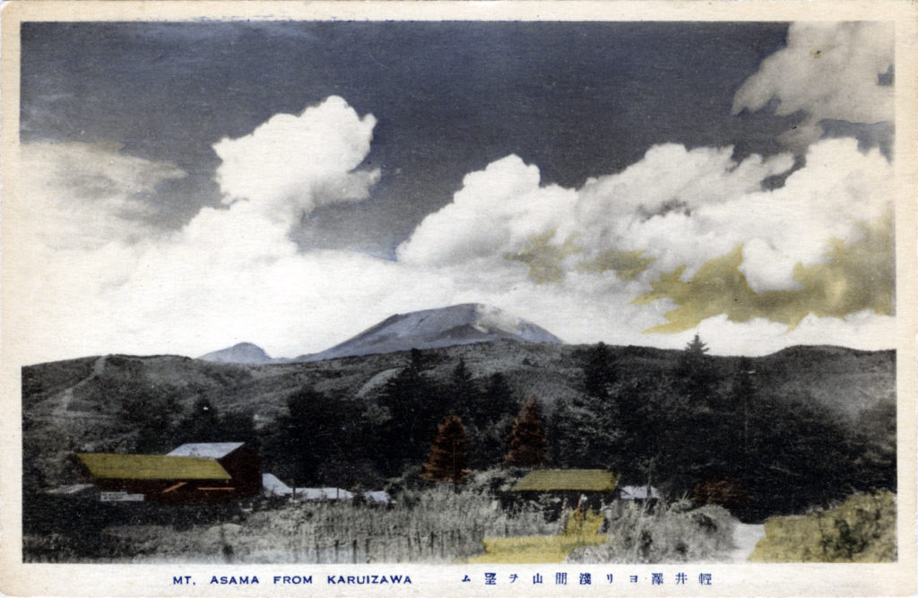
“Mount Asama is an active complex volcano in central Honshū, the main island of Japan, and is the most active volcano on the island. The Japan Meteorological Agency classifies Mount Asama as rank ‘A’. It stands 2,568 metres (8,425 ft) above sea level on the border of Gunma and Nagano prefectures. It is included in 100 Famous Japanese Mountains, a book composed in 1964 by mountaineer and author Kyūya Fukada. A cruiser class of the Imperial Japanese Navy was named after the mountain, including lead ship Asama.
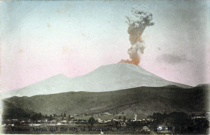
“Mount Asama erupted in 1783, causing widespread damage. The climactic eruption on 4 August 1783 lasted for 15 hours. The volcano’s devastation exacerbated what was already known as the ‘Great Tenmei Famine’. Much of the agriculturally productive land in Shinano and Kōzuke provinces would remain fallow or under-producing for the next four or five years. This eruption killed upwards of 1,400 people, with an additional 20,000 more deaths caused by the famine that followed.
“[More recently] Mount Asama erupted in early February 2009, sending ash to a height of 2 km (6,600 ft), and throwing rocks up to 1-km (5/8-mi) from the crater. Ash fall was reported in Tokyo, 145-km (90-mi) southeast of the volcano crater.”
– Wikipedia


